Meteorological Winter Confirmed
Just four days into the meteorological winter, the UK is bracing for an Arctic onslaught that could transform the weather in the run-up to Christmas. The latest weather maps indicate a dramatic drop in temperatures and the potential for intense snowfall across certain regions, renewing hopes for a White Christmas.
This drastic change is primarily targeted at the country’s North, with alarming forecasts for “feels like” temperatures, which could plummet to a chilling $-6^\circ\text{C}$. This detailed analysis explores the timing and areas of impact of this winter offensive, according to the most recent forecast models (WXCharts, Ventusky, and GFS).
Snow Forecast: When and Where the Impact Will Be Strongest
The major snow event is primarily expected around the middle of December, concentrated in the Scottish Highlands and extending southward.
Scotland, the First Line of Snowfall
According to experts at WXCharts, parts of Scotland could face significant snowy conditions around midnight on December 16. The maps specifically forecast substantial snowfall in the Highlands .
- Key Date: Night of December 15-16.
- Affected Areas: Mountainous regions of Scotland (Highlands).
Southward Travel: Northern Ireland and Northern England
The GFS (Global Forecast System) models suggest that this snow, originating in Scotland, could travel southward, affecting parts of Northern Ireland, Wales, and sections of Northern England.
- December 15 (Morning): Snow could begin falling across Scotland in the early hours. The maximum intensity is expected to blanket Galloway Forest Park (Southern Scotland), as well as the Lake District and the Pennines in Northern England (around 9 a.m.).
- December 15 (Afternoon): North Wales, particularly the Snowdonia massif, is set to experience heavy snowfall by 3 p.m. Milder snow showers are also anticipated across parts of Northern Ireland around the same time.
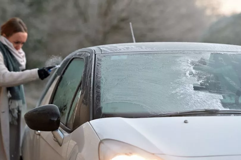
Temperature Plunge: “Feels Like” Temperatures Down to -6°C
Beyond the snow, the most brutal aspect of this Arctic blast concerns the temperature drop.
The Bitter Night of December 16
Charts from meteorologists at Ventusky forecast a temperature collapse around midnight on December 16. The map for “feels like” temperatures (a factor that incorporates wind chill to give a more accurate measure of perceived cold) shows a widespread drop below $0^\circ\text{C}$ across the majority of the UK.
- Extreme Cold Alert: The Highland areas potentially experiencing snow could simultaneously endure feel-like temperatures plunging to a breathtaking $-6^\circ\text{C}$ during that bitter night .
- Indicator: The temperature map is forecasted to turn blue across most of the country.
The Met Office Position: Short-Term Caution
Despite the dramatic forecasts from long-range models (WXCharts, GFS), the UK Met Office maintains a more cautious outlook for the immediate days.
Forecast for December 8 to 17
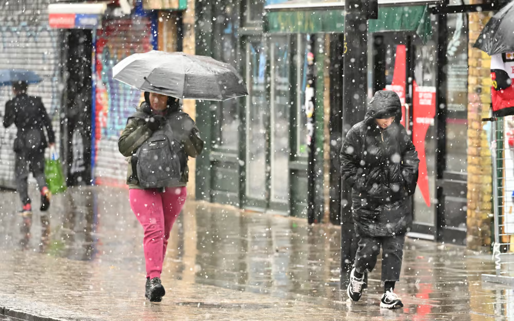
The national meteorological service expects a continuation of the unsettled conditions seen recently, characterized by further showers, longer spells of rain, and some strong winds affecting all parts.
- Rain and Wind: Areas of low pressure from the North Atlantic are expected to move eastward, bringing heavy rainfall, particularly in western areas. Potentially very strong winds are also likely at times.
- Temperatures: Actual temperatures are expected to remain near or a little above average, but it will feel cool due to the wind and rain.
- Snow and Frost: The Met Office anticipates little in the way of frost, fog, and snow before the end of this period, stressing that the humid Atlantic instability will dominate until the Arctic cold snap potentially settles in.
In conclusion, while snow seems unlikely in the first half of December for southern and central regions, the threat of a snow deluge accompanied by extreme polar cold is very real for the northern regions of the UK just before the Christmas period, requiring close monitoring of forecasts as the December 16 timeframe approaches.